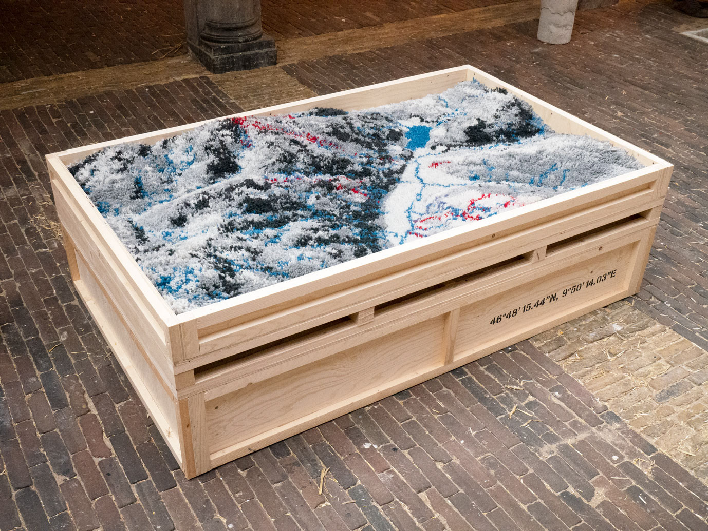
- 46° 48′ 15.44″ N, 9° 50′ 14.03″ E
woolen high pile carpet in wooden transport crate, 2020
“In this high pile carpet the distant eye merges with the tactile touch, following the lines of a hight map of a mountain area. This is thet location of the highest city in Europe where strategies are made during the World Economic Forum, but also the place where Hans Castorp loses time on the Zauberberg of Thomas Mann.”
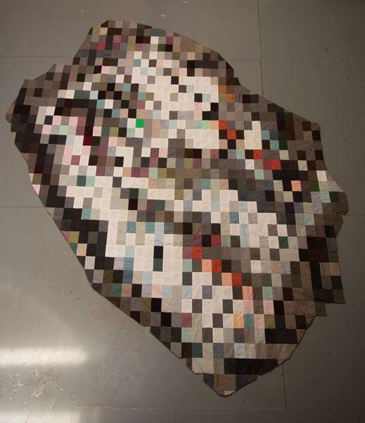
- Cover up 39°08’04.4″N 26°30’11.6″E
patchwork 240 x 280cm, 2021
“Some locations on publicly viewable satellite map services like Google Maps and Baidu have missing, incomplete, or blurred map data. Governments ask the services to censor sensitive areas like government buildings, military airbases and refugee camps. Different patterns are used to cover up these locations. No 3 in series of patchwork blankets.”
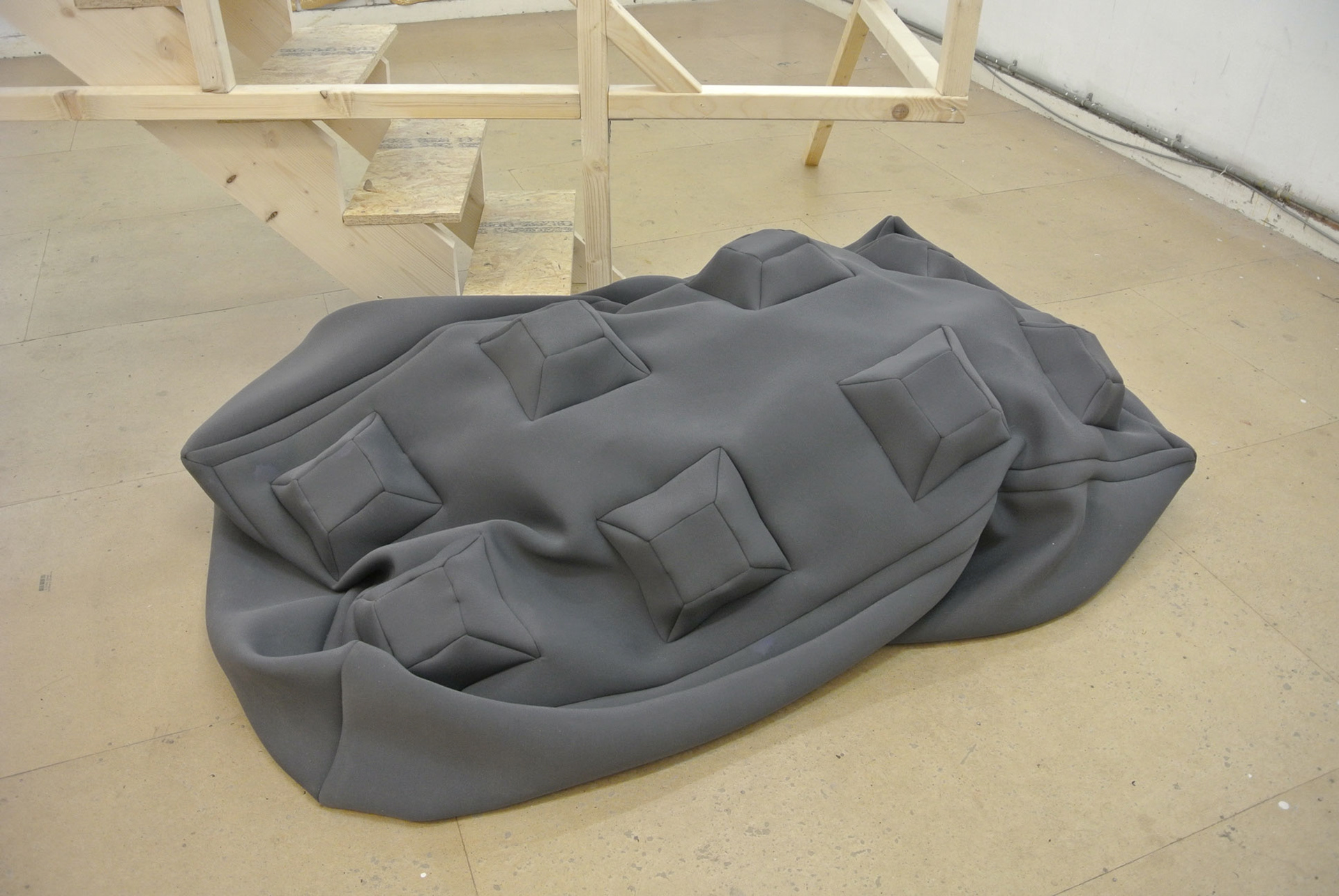
- Strong Hold
neoprene, foam, lashing strap, 2016
160x80x40 cm
“Concrete blocks in the form of grey lego blocks slowly fill the public space of cities like Amsterdam. Some blocks are there for years, slowly turning green with moss and algae. Every day new ones are added to the city scape. They block traffic during road works, but also function as safety walls in front of specific buildings like ambassies and busy squares. The strong hold blocks are soft versions of the modern fortifications. While the concrete version tries to keep people at a distance, the soft ones invite to come closer and touch.”
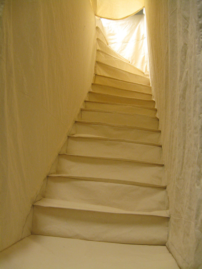
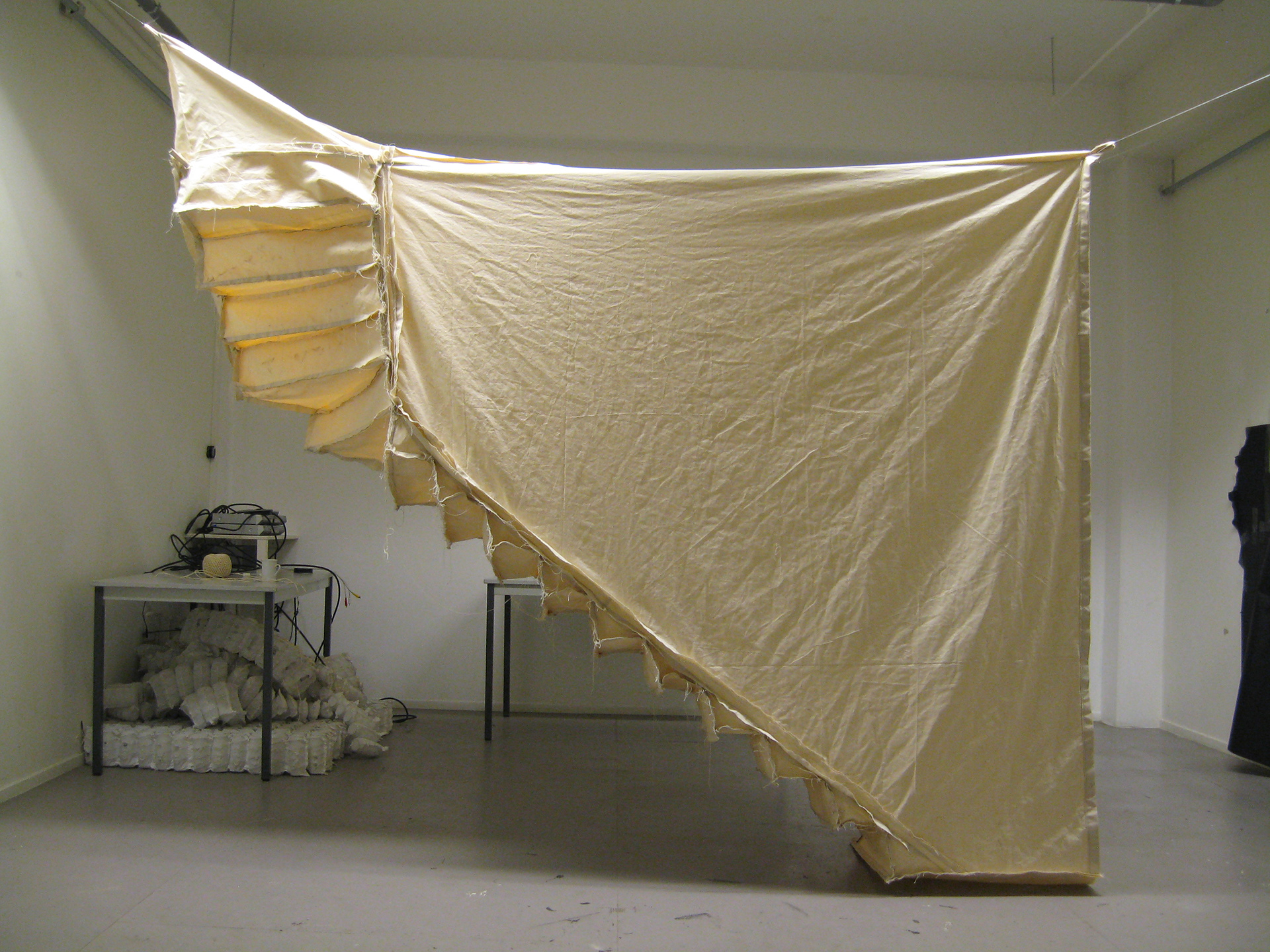
- Madurastraat 36
cotton tent, 270 x 300 x 70 cm, 2012
“Cloth copy of the now demolished staircase of Maduratraat 36- a space in between privat and public, just shared by three neighbours. This remnant of a place can be folded up like a tent and reconstructed in a new location.”
